At 511 meters Park Fell is not particular high however it is a mere 2.5 kms from the centre of Alston. With its excellent views of Alston and relatively easy access this makes it an ideal destination for a short walk. The route to the summit described here is a gentle climb and forms the outward leg of the walk. The return is via the secluded Gilderdale valley then the Pennine Way. It is suitable for any time of year. In the winter months you may even be fortunate enough to have a covering of snow up on Park Fell.
The nominal starting point of the walk is the Spar supermarket although the nearest parking may be at the Railway Station. Wherever you park and/or start from just head out of Alston on the Penrith Road until you reach the War Memorial . Most of the outward leg is along the ancient track known as The Wardway. This gradually climbs and gives extensive views along the valley.


Leaving The Wardway the route enters Open Access land where one is free to roam but dogs should normally be kept on a short lead however it is worth checking out to see if there are any other special restrictions in place. See
http://www.openaccess.naturalengland.org.uk/wps/portal/oasys/maps/MapSearch
and enter Park Fell in the appropriate box.
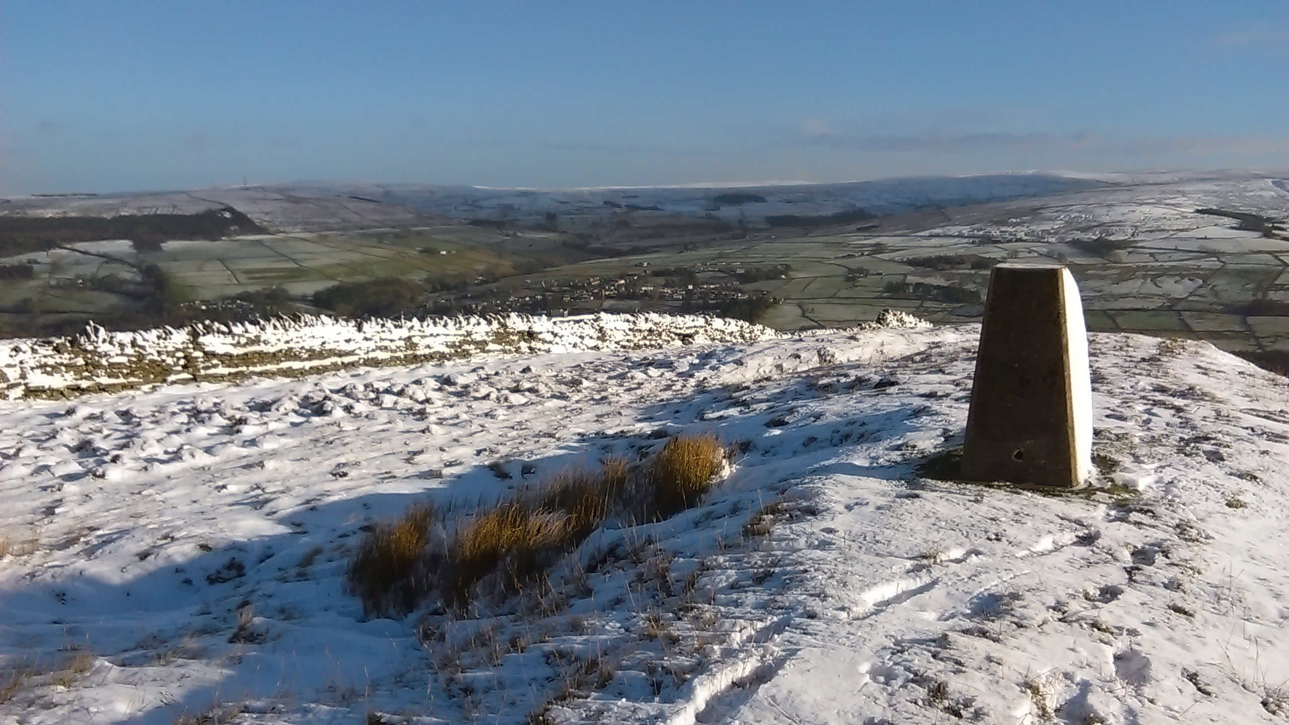
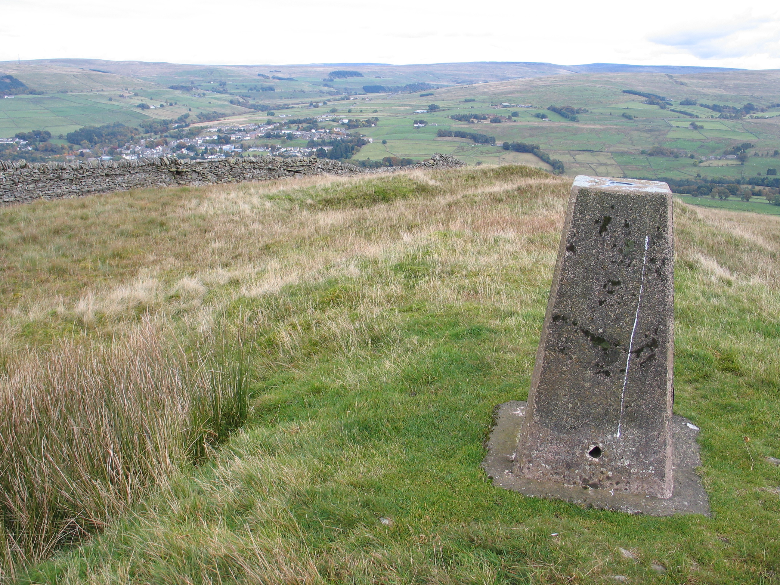
There are views over Alston from the trig point
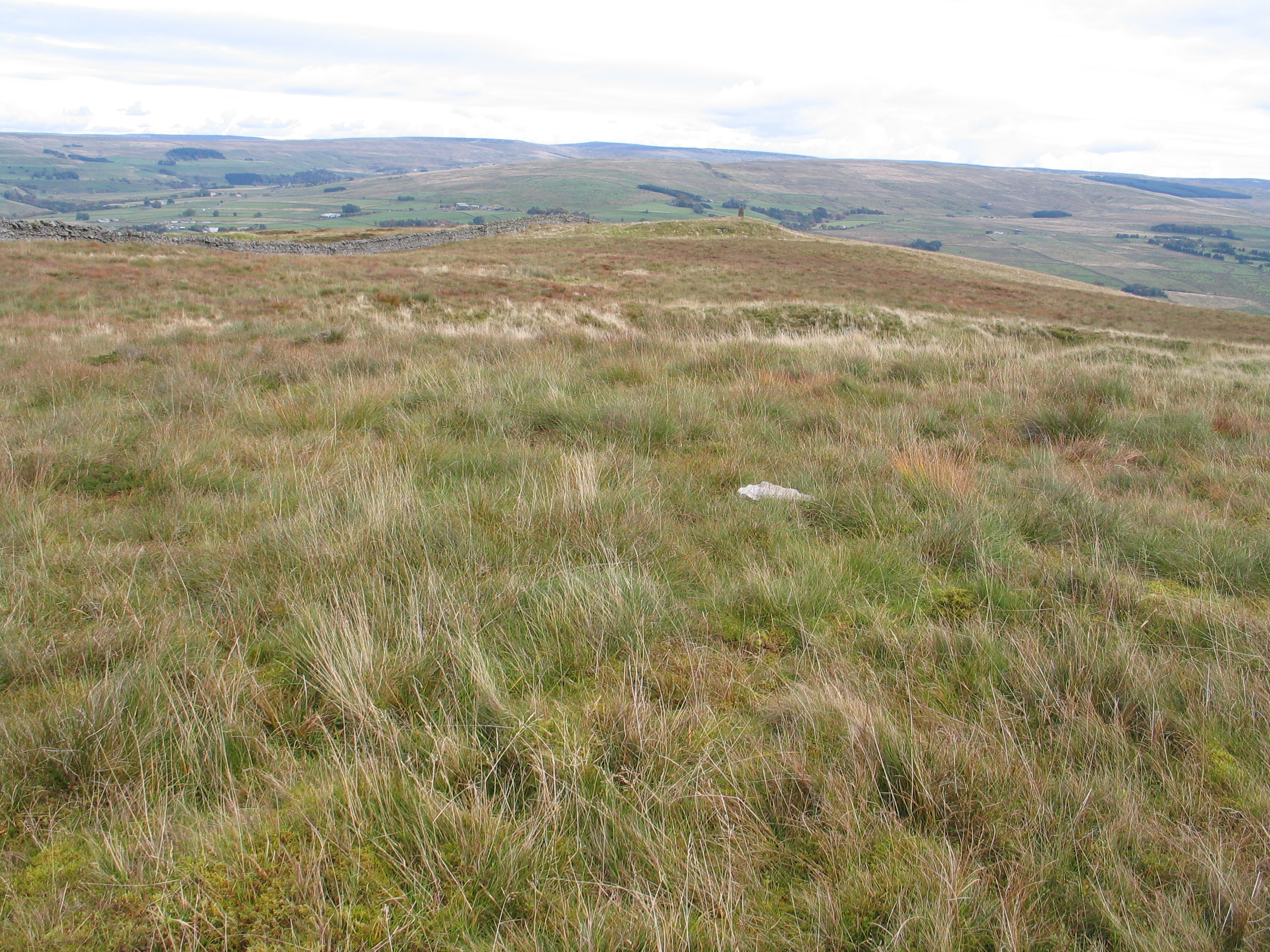
however the actual summit is slightly further back and is marked by a rather insignificant cairn(?)
Leaving the summit of Park Fell one descends in to the Gilderdale valley. The particularly boggy section here is very close to the line of the Maiden Way. It is difficult to imagine as one sinks in to the bog that this was once a major Roman road. One

wonders what the Roman soldiers would have thought walking along here especially in winter time.
It is worth stopping to enjoy the peace and tranquillity of Gilderdale which is also a potential gateway to some of the higher North Pennine hills. Across the valley is Grey Nag with its imposing cairn, at the head of the valley lies Black Fell and between these the oddly-named Tom Smith’s Stone. This section of the route continues along one of the many walled tracks to be found in the area before joining the Pennine Way for the final leg back in to Alston.
